3D Globe with JSON GPS locations
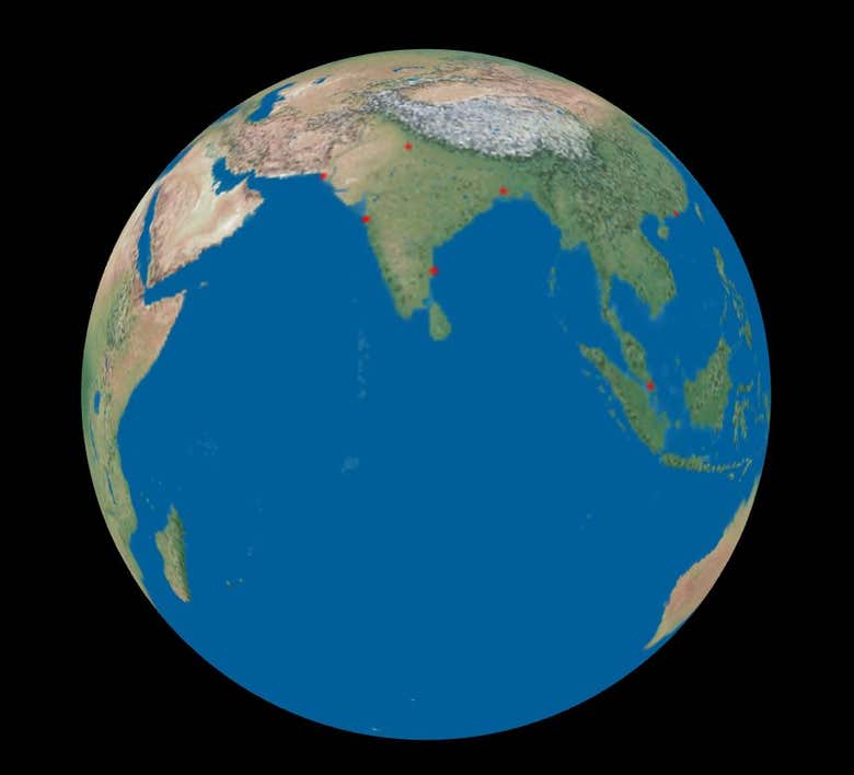
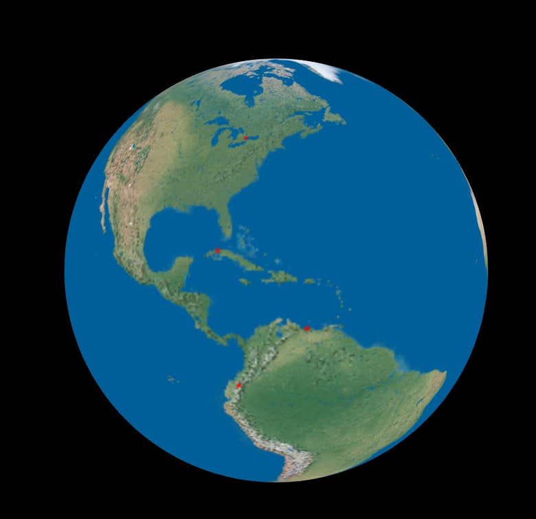
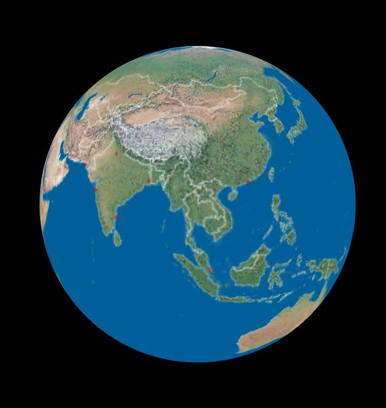
This is a 3D globe drawn with Three.js. The globe is overlaid with an earthmap jpg image and the international borders drawn on top of it with GeoJSON border data. Then a set of GPS points are highlighted with red dots. The globe can then be rotated and zoomed using the mouse

Mi perfil
I am a Web Developer with solid and real life experience in this field. I have worked as a software publisher and a contract programmer (from C++ through to java servlets) in Australia for 15 years. I am currently based in Malaysia. Now, I develop online applications using JavaScript, D3, , PHP, MySQL, SVG, HTML5, CSS3, CodeIgniter, WebGL, Canvas, CSS, Web RTC, and JQuery. I do all the work myself and do not sub contract. I am ready to work on your upcoming jobs or projects. Please contact me to discuss about your project.